Let’s come together this month and re-imagine the Lower Schuylkill
By Harris M. Steinberg, FAIA
For PlanPhilly
Few announcements seem to captivate the interest of Philadelphians and other city dwellers like the launch of a new riverfront project. The various iterations of plans for the Central Delaware River have always been front-page news, and the central stretch of the Schuylkill River Trail (now known as Schuylkill Banks) attracts one million users and gives us one of the most picturesque views of the city.
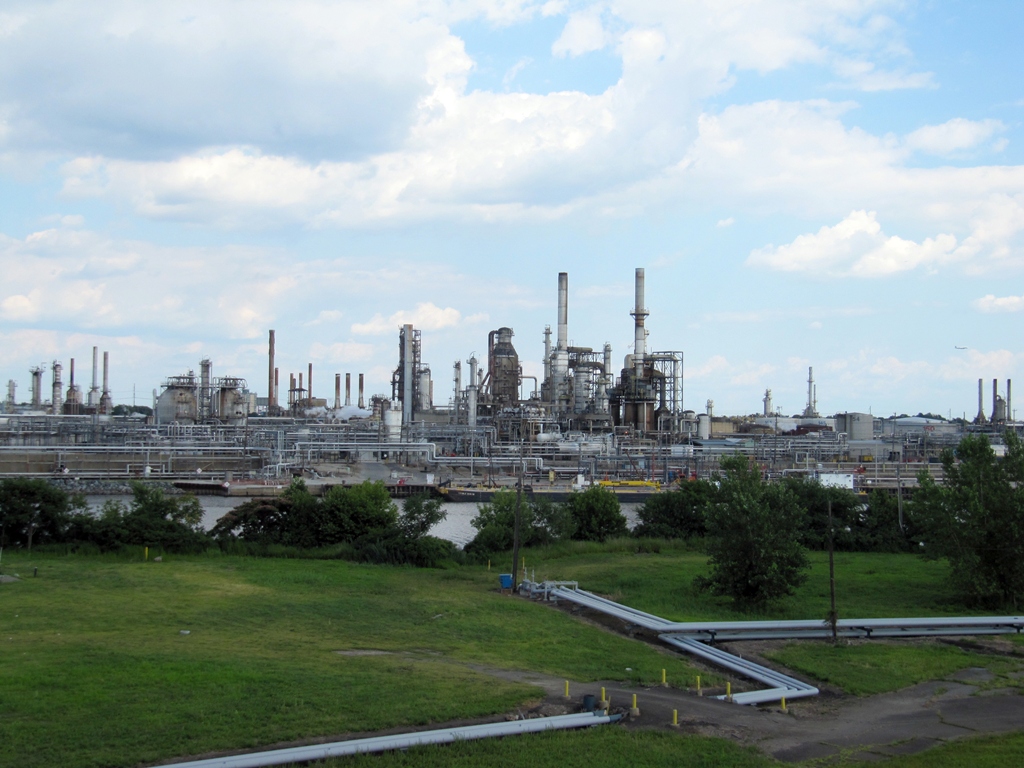
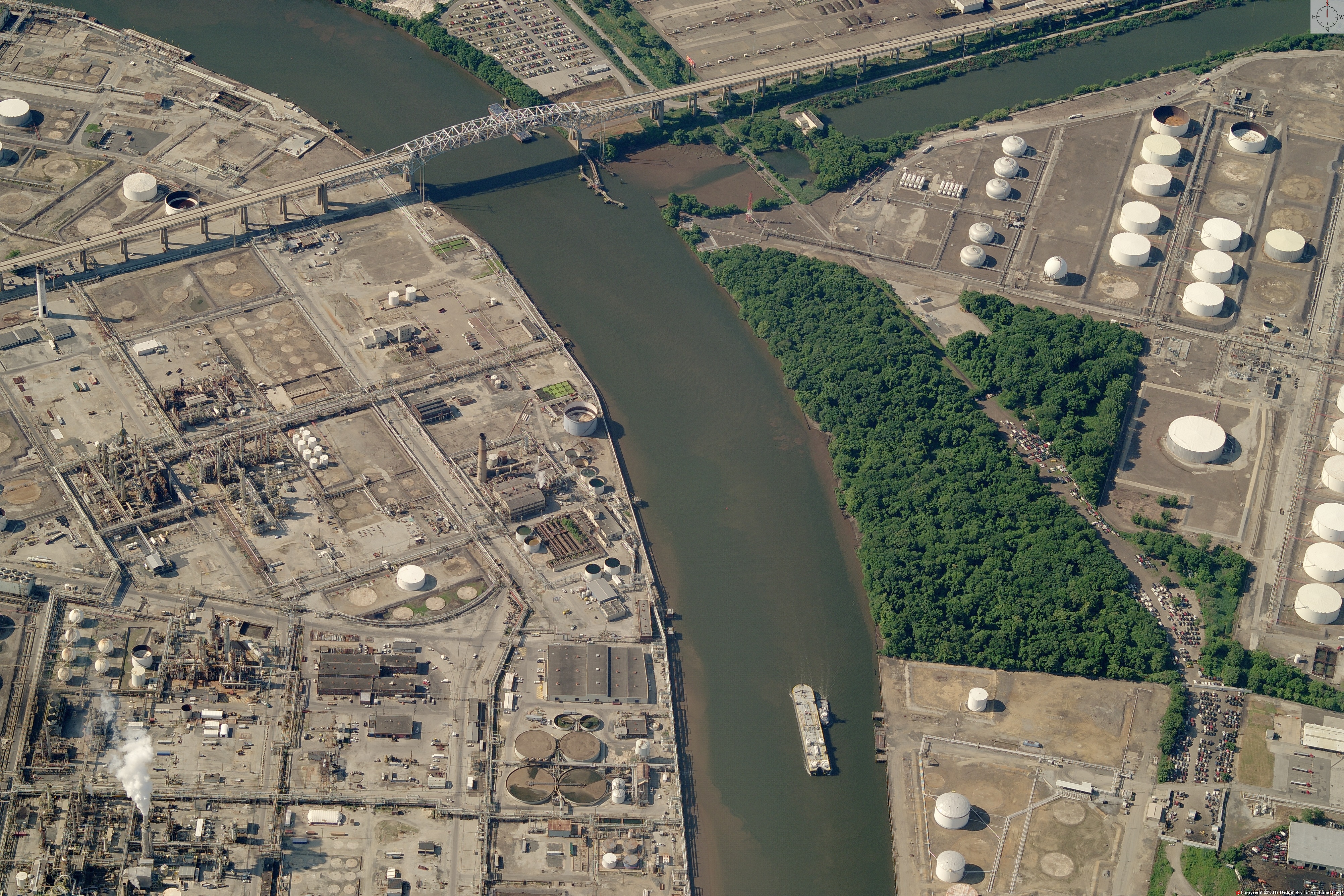
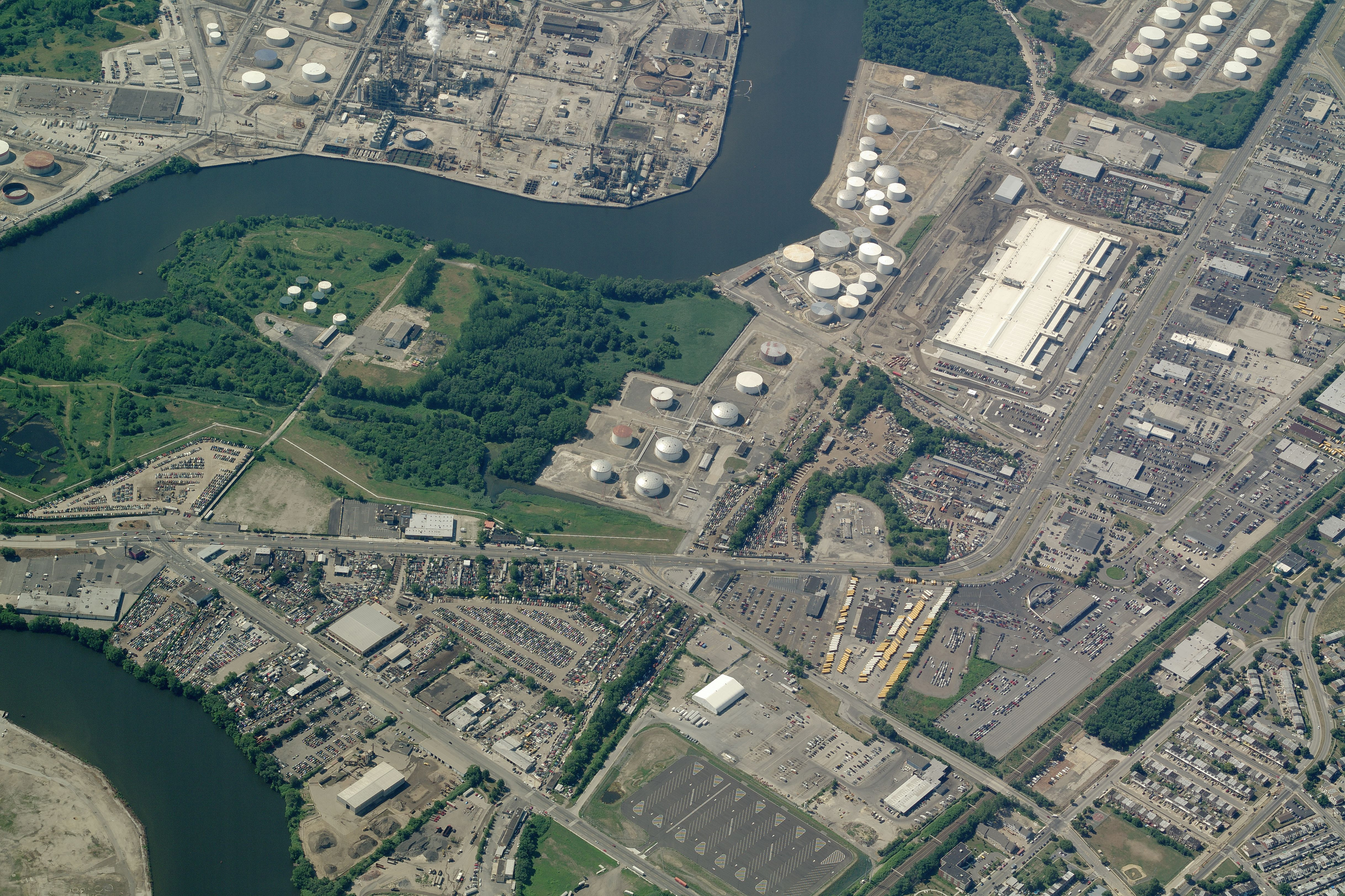
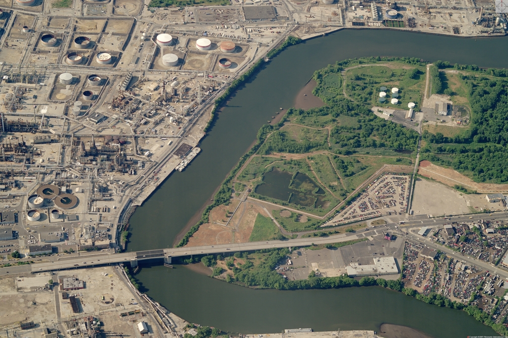
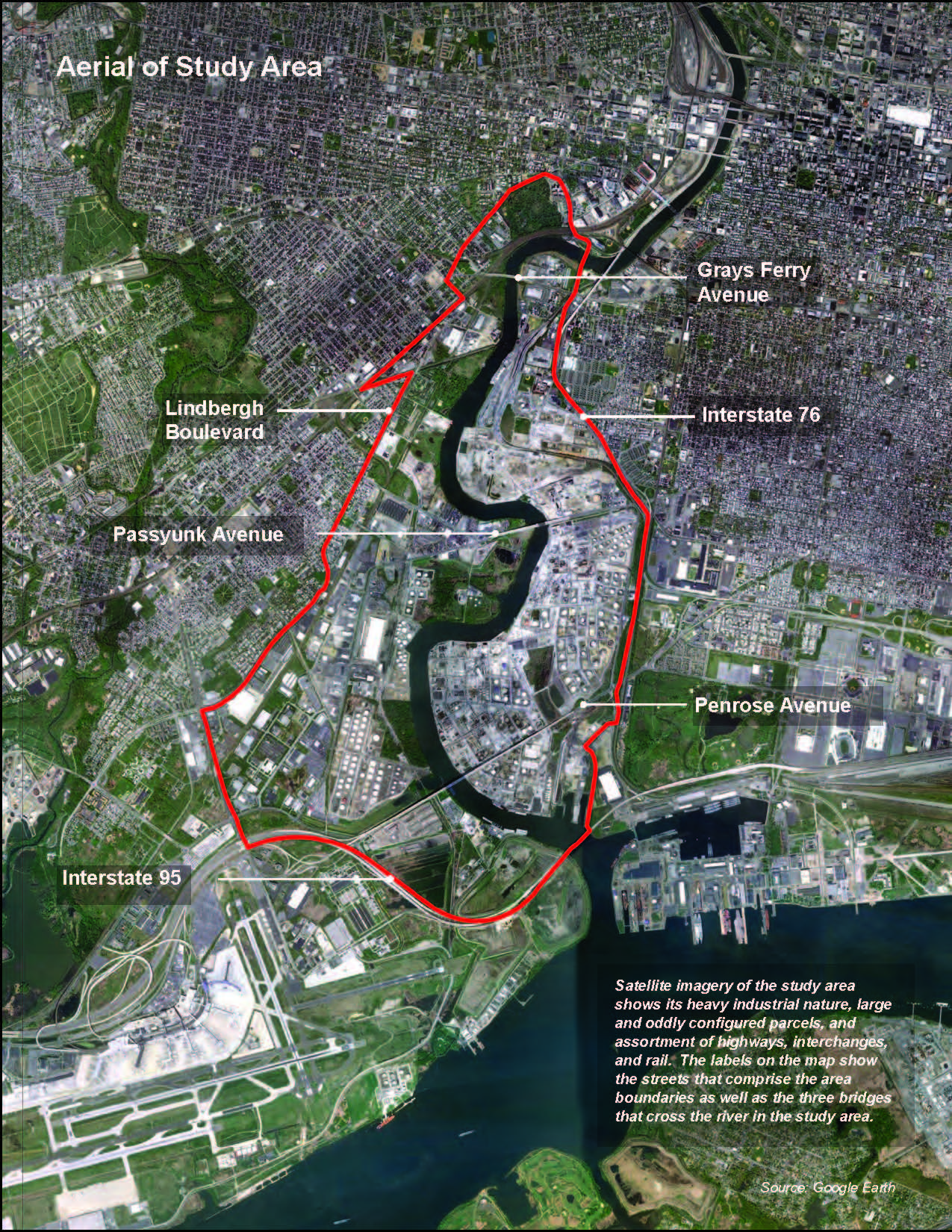
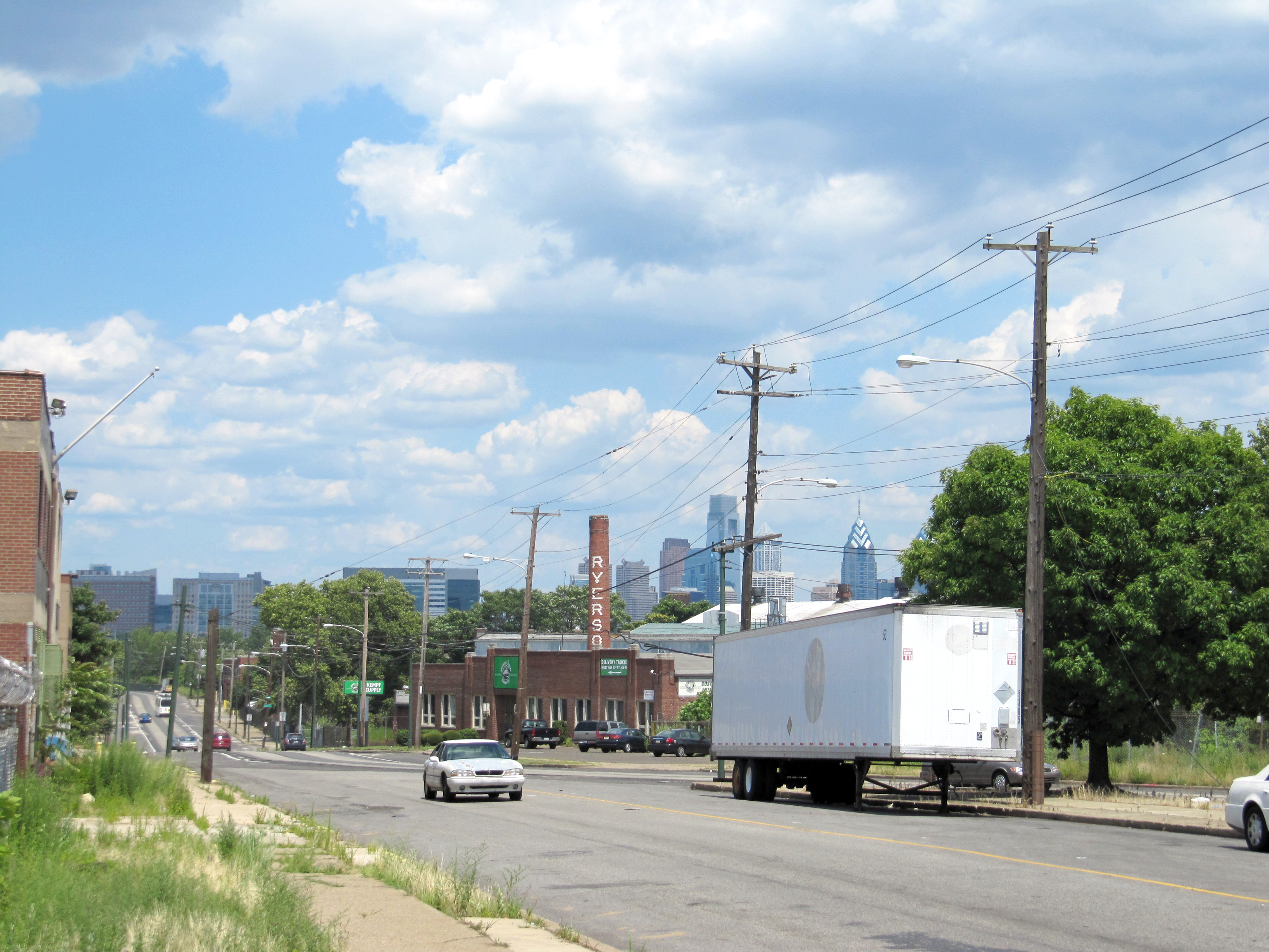
One stretch of local riverfront that is rarely characterized as “picturesque” is what the City is calling the Lower Schuylkill, which refers to the land on both sides of the river from the 34th Street Bridge south to I-95 and Philadelphia International Airport. Although most of this land is underutilized and not accessible to the public, the City of Philadelphia sees a direct tie between the future of the Lower Schuylkill and the economic future of the city as a whole, which is why the Philadelphia Industrial Development Corporation and Philadelphia City Planning Commission launched the Lower Schuylkill Master Plan in Fall 2011.
Both agencies identified this area in previous studies as having significant potential because of its proximity to various dense residential neighborhoods, open space assets, and economic drivers (the Airport, Center City, University City, and the Navy Yard), as well as its collection of large parcel sizes and adjacency to rail and highway infrastructure that could facilitate economic development, with the right strategy in place.
PennPraxis is assisting the Master Plan with local planning and outreach work.
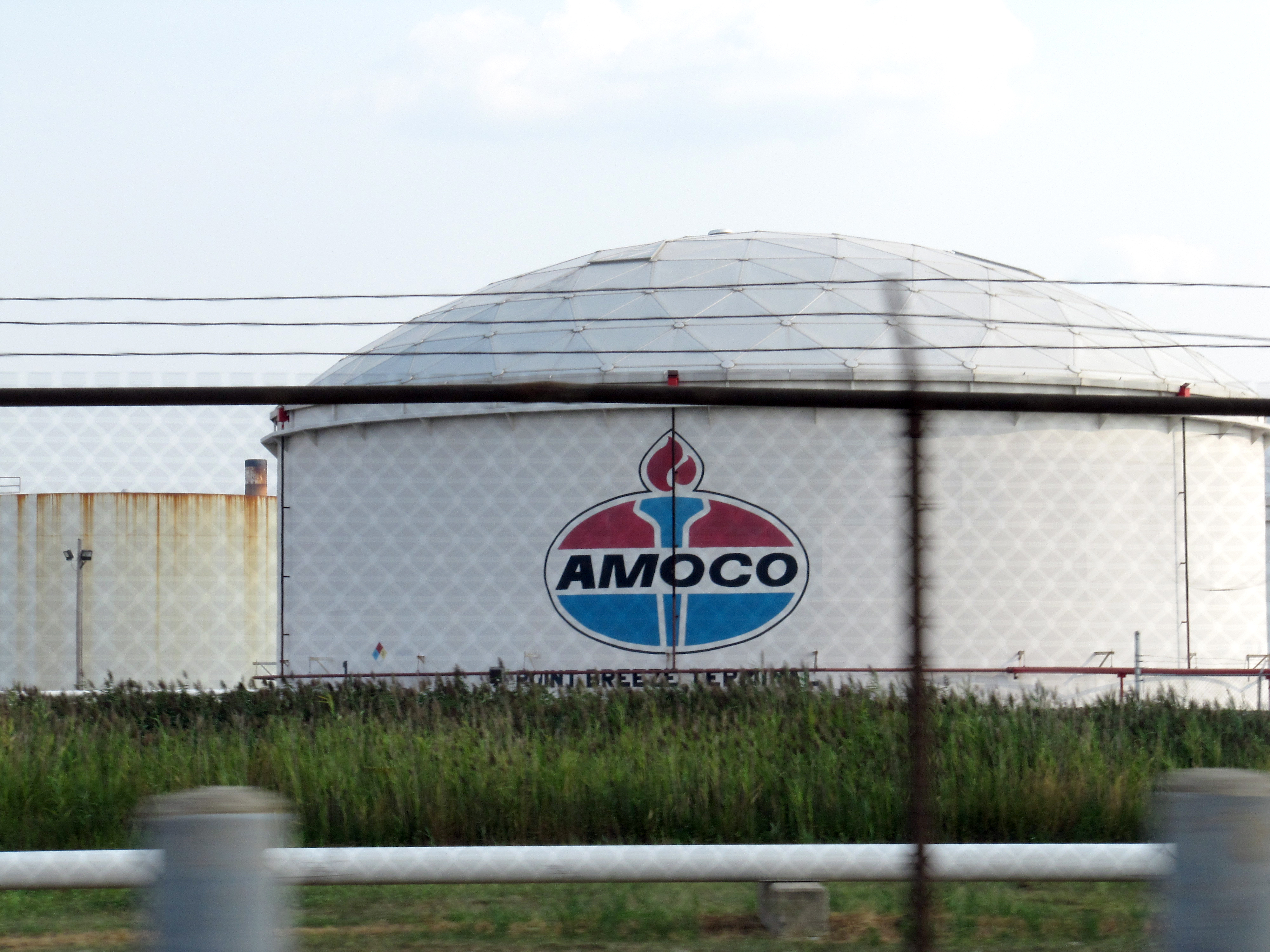
I have written about the potential of the Lower Schuylkill before. Though this 3,700 acres of land is not on most Philadelphian’s mental maps, it is an area that we all experience. We see the mix of industry and green along the river as we travel along I-95. We stare at the steam-billowing processing from the Platt Bridge as we drive to the Airport. We have been to Bartram’s Garden and The Woodlands, two of the city’s most lush and historic green spaces, but never realized just how close they are to each other.
We’ve jogged along the ever-expanding Schuylkill Banks and wondered when the trail would extend south to Fort Mifflin. We read that Penn purchased the former Marshall Labs facility at 34th Street and Grays Ferry Avenue, but do not know what their future uses for the site are. And in the last six months, we have seen the articles about Sunoco, one of the largest private landowners in the city, and their plans to sell their Philadelphia holdings by this summer. All of a sudden, land that has appeared to be “off limits” for decades now becomes part of a conversation on what Philadelphia’s economic future will be.
A planning team, led by Chan Krieger NBBJ in Cambridge MA, has been assembled to look at how to bring more industry and jobs to the area, increase public waterfront access, create better circulation for the movement of goods and people throughout the area, and improve the health of the river.
Now the Master Plan team is opening its doors to welcome input on initial design ideas. These meetings come about two-thirds through the Master Plan process. Each meeting will begin with a presentation of the early recommendations for the Lower Schuylkill, followed by an exhibit of display boards where citizens can give input on the issues most important to them. We hope you will attend and give us your feedback on numerous aspects of the plan.
- 5:30-7:30pm, Richard Allen Charter School, 2601 South 58th Street
- Just down the street from Bartram’s Garden and the now-under-construction 58th Street Greenway!
- Free parking and accessible via SEPTA Route 36 trolley
- 5:30-7:30pm, Penn’s new South Bank campus, 3401 Grays Ferry Avenue, Building B176, 3rd floor
- A rare opportunity to see a site that is typically gated. We are hoping someone from Penn will attend to briefly outline Penn’s development plans for the site.
- Free parking and accessible via SEPTA Route 12 and 64 bus
I hope you will attend either of these meetings to see the progress and give us your feedback. What I have seen of the plan is an exciting opportunity for Philadelphia to build on the strength of University City, the Navy Yard and the Airport and position the area for economic growth over the next few decades.
Harris Steinberg, FAIA
Executive Director, PennPraxis
WHYY is your source for fact-based, in-depth journalism and information. As a nonprofit organization, we rely on financial support from readers like you. Please give today.


