Checking in on the South District planning process
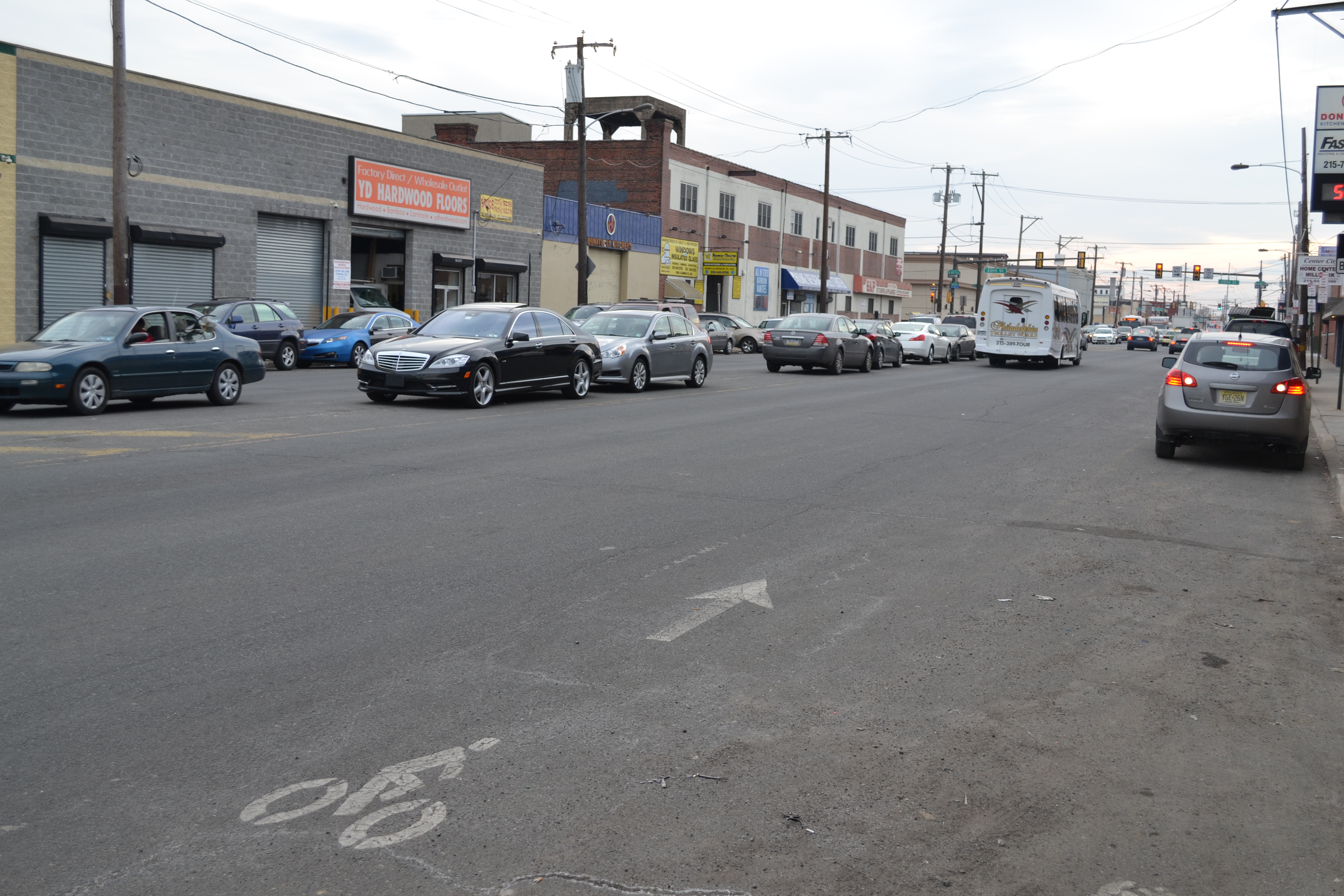
Last month, the Philadelphia City Planning Commission held the first in a series of community meetings to get input from residents on planning and zoning goals for the South District, which is bounded, very roughly, by Washington Avenue on the north, the Delaware River on the east, and Interstate 76 on the south and west. It includes Grays Ferry, East Passyunk, Pennsport, and Point Breeze, among other neighborhoods.
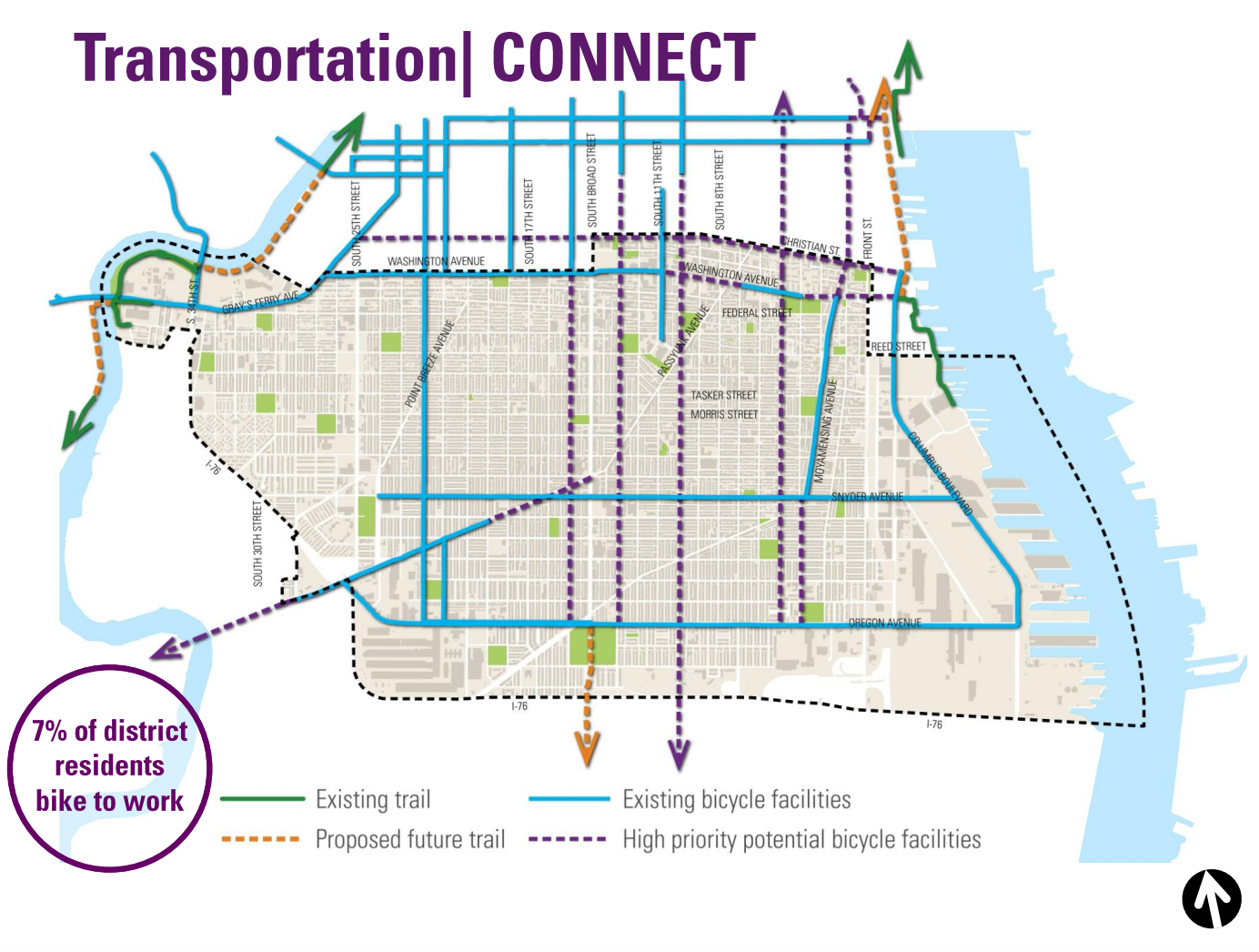
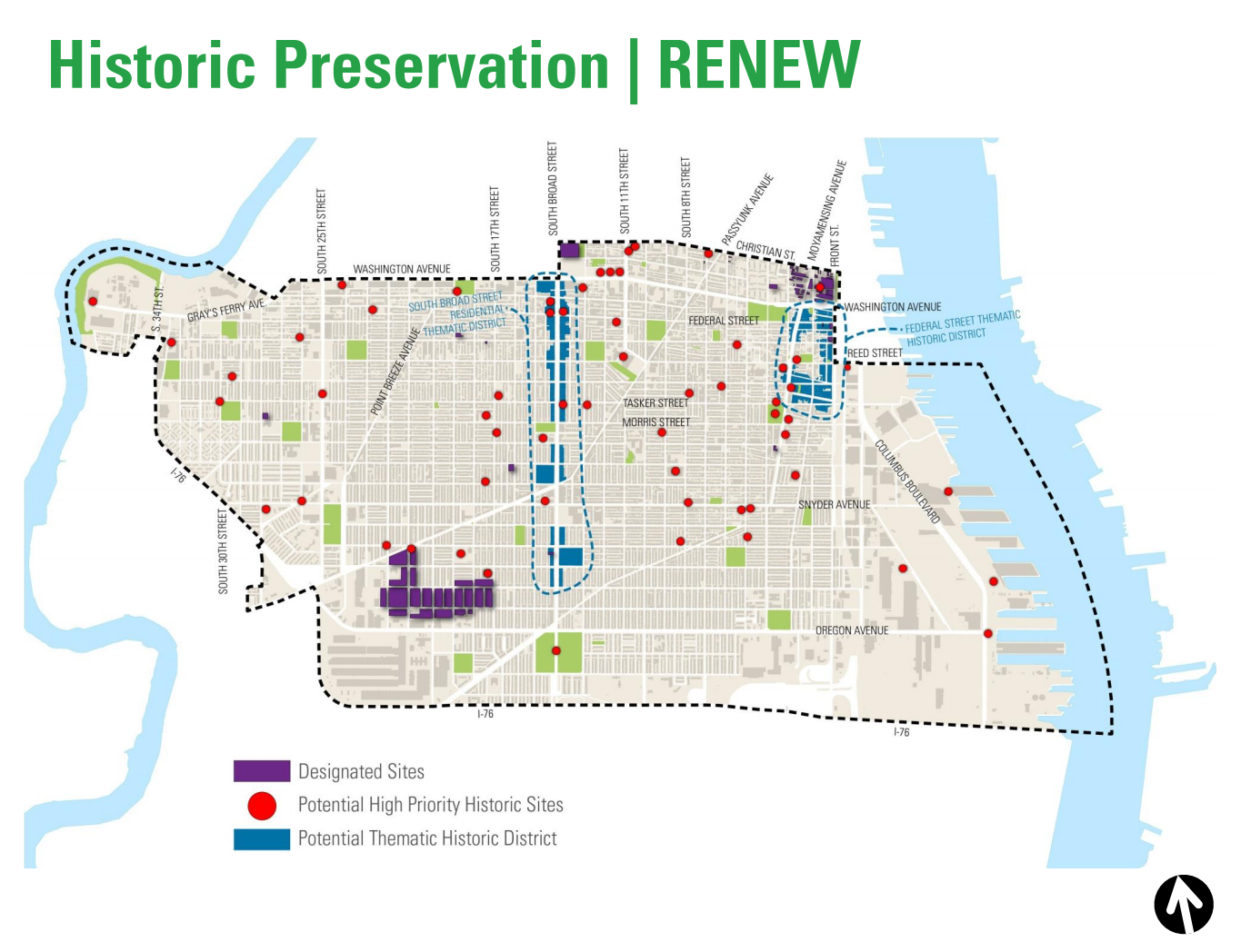
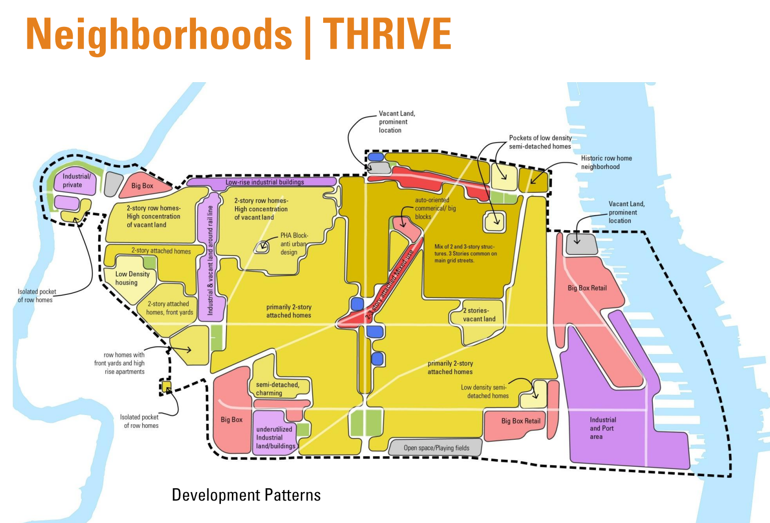
The South District plan is one of 18 district plans being completed by the Planning Commission as part of the Philadelphia2035 citywide vision process. The goals of the project include updating the zoning maps, enhancing the public realm, identifying historic properties, and improving access to transportation and healthy food.
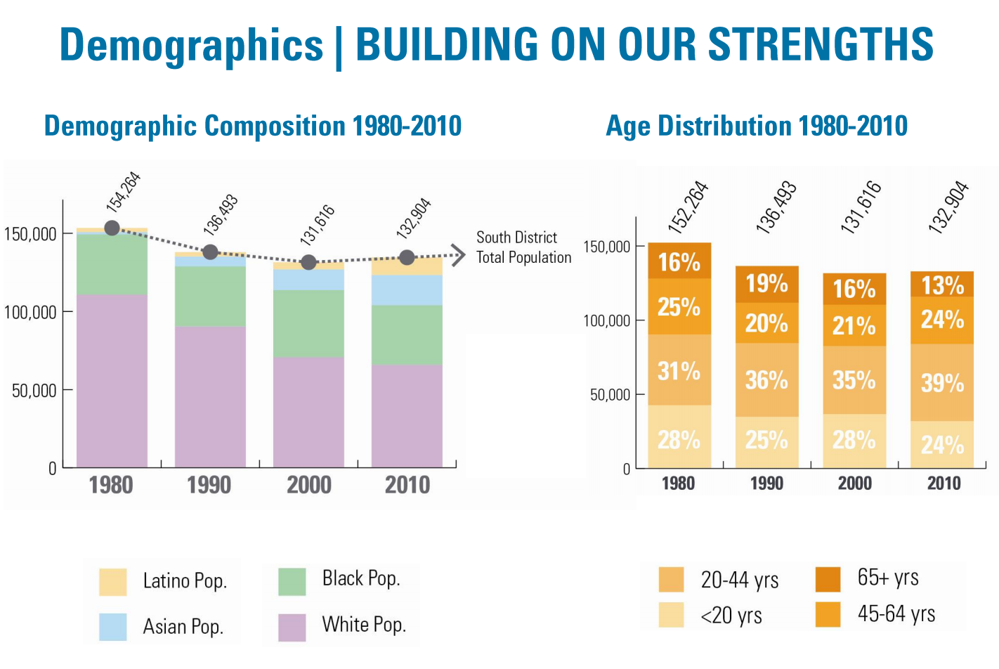
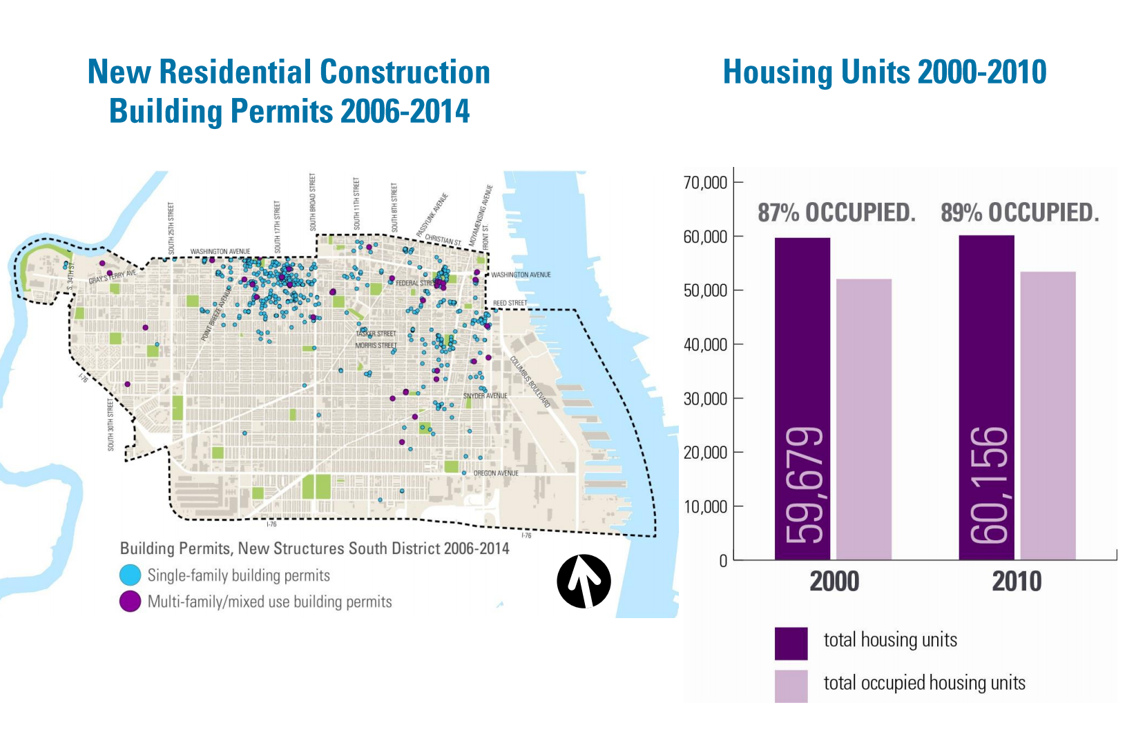
At December’s meeting, Planning staffers presented some key statistics about the district:
-
The population of the area grew by about 1,300 residents between 2000 and 2010,
-
The biggest portion of the population (39 percent) is between the ages of 20 and 44,
-
Housing occupancy rose from 87 percent to 89 percent between 2000 and 2010,
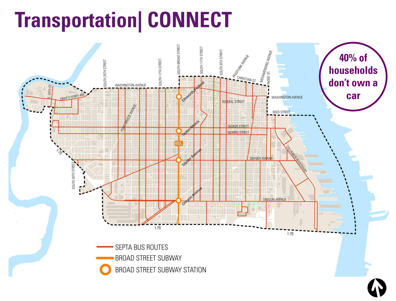
- 40 percent of households in the district don’t own cars.
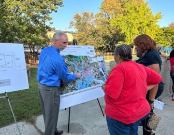
Attendees then participated in a mapping exercise to identify strengths, weaknesses, and barriers within the district, as well as areas of opportunity. Among the strengths identified by attendees, according to a summary from the the Planning Commission, were a number of parks and recreation centers, the Italian Market, commercial corridors on South 7th Street and East Passyunk Avenue, and other centers of commerce. Attendees named diversity, walkability, bikeability, and food access as district-wide strengths.
District-wide weaknesses include lack of green space and tree cover and difficult mobility from east to west. Attendees also said that Grays Ferry Avenue, Columbus Boulevard, the Snyder station on the Broad Street Line and the entire neighborhood of Point Breeze were weaknesses.
PlanPhilly asked Nicole Ozdemir, a community planner, what specifically about Point Breeze was seen as a weakness in the South District.
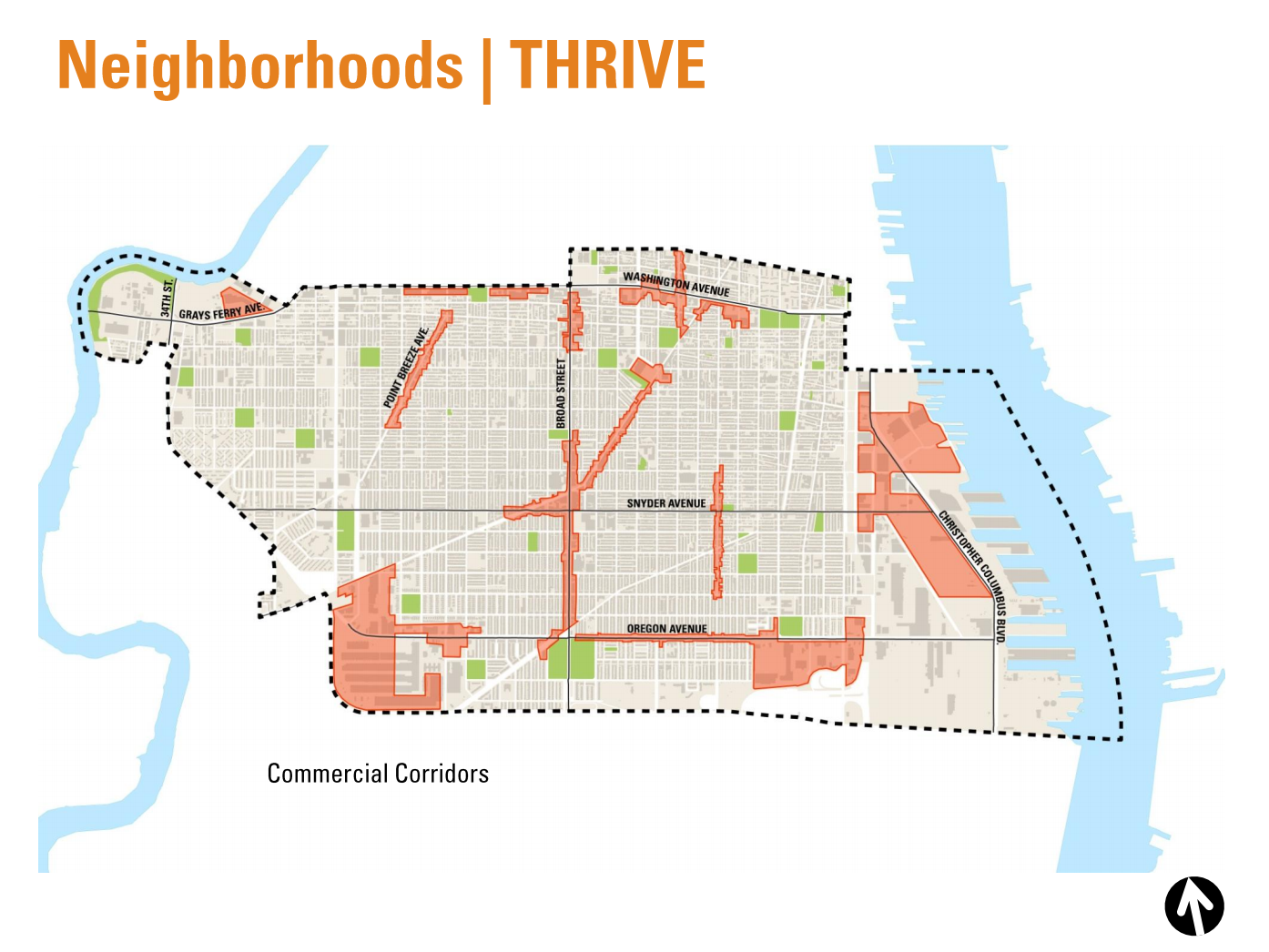
“I think that people really looked to Point Breeze Avenue as a commercial corridor that needed help,” Ozdemir said, “and they want to see that kind of get better and be a better corridor.”
Ozdemir said that around 100 people attended the event, which is roughly on par with the first meetings for other district plans, and that the residents came from all across the district. She said the one neighborhood that had the lowest turnout was Grays Ferry, which makes up the westernmost portion of the South District. She said the Commission is working on improving outreach in Grays Ferry before the next meeting, which is in February.
Barriers in the district include Washington Avenue, the 25th Street Viaduct, Snyder Avenue, Columbus Boulevard—all areas that could serve to connect neighborhoods, rather than separate them.
In addition to the first engagement meeting, the Commission solicited input for the district plan online. Results from that project can be reviewed here. See the Planning Commission’s presentation here. Read a summary of the meeting here.
Keep an eye out for notice of the next South District planning meeting next month.
WHYY is your source for fact-based, in-depth journalism and information. As a nonprofit organization, we rely on financial support from readers like you. Please give today.

