


Five years into remapping process, City Council has yet to rezone half of the city

The remapping of Philadelphia’s neighborhood zoning is unfolding at a halting pace, although the process picked up speed in the last year, according to data presented at a Planning Commission meeting this past Tuesday.
Five years ago, with the new zoning code enacted, the Planning Commission began organizing district planning sessions to help community members articulate the kinds of development they wanted to see in their neighborhoods.
After the Planning Commission completes a district plan, they use it to guide proposed zoning remappings. Great swathes of the city are zoned as they were in the mid-20th century, and often those designations don’t reflect current land use patterns or development trends—think booming residential neighborhoods that are still largely zoned for long-shuttered factories instead of apartments. As a result, developers need to get variances from the Zoning Board of Adjustment or legislation from City Council to move forward with their projects.
The remapping process reflects input from community groups, the commission’s staff, and the City Council representative. With updated zoning in place, the hope is that developers can move forward by-right more often—avoiding the sacrifice of precious time and resources to a Byzantine and politically-loaded approval process.
“In 2013, we started a comprehensive look at remapping Philadelphia,” said Andrew Meloney, a senior planner for the city, in his presentation to the Planning Commission. “In 2013, we had three plans adopted. Now we have 15 adopted, so the basis for remapping is growing all the time.”
With only three district plans left to be completed, and the entire process likely to be finished by next spring, Meloney reported that 39 percent of the 12,369 acres of proposed remapping have been completed. In the last fiscal year alone, 1,869 acres were remapped, the most accomplished in a single year since 2013.
Meloney ticked off all the neighborhoods that have been remapped between July, 2016 and June, 2017: Mantua, Somerset, Logan Square, Queen Village, Mayfair, Francisville, and central Roxborough, among many others.
But these neighborhoods are still the exception. The Planning Commission is purely advisory and the remapping suggestions actually have to be enacted by City Council, which defers to the district councilmembers representing the area. Meloney showed the commission that of the 12,369 acres that have been subject to remapping proposals over half—6,966 acres—have yet to be acted upon. Only 629 acres are currently in the process of being remapped.
“The Planning Commission has performed a Herculean effort by doing these proposals,” says Matt McClure, a prominent land use lawyer and partner with Ballard Spahr. “It’s one thing to put a plan together, it’s another to introduce legislation and pass it. But that’s our system of government. Democracy is slow. Is it ideal? No. But am I shocked by it? No.”
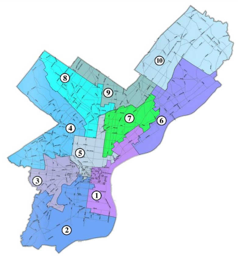
Meloney’s brief presentation did not explain why the remapping process is unfolding at such a deliberate pace. But upon inspection, the documents from his presentation clearly show that there are a few council districts—those of Bobby Henon, Maria Quiñones-Sanchez, and Council President Darrell Clarke—where remapping proposals have been most successful. Many of the acres currently being remapped are in those same council districts.
Paul Chrystie, spokesman for the Planning Commission, says it’s too simple to say that remapping is more common in council districts that have already proven amenable to the process.
“Remapping depends on where we are in the district plan process,” writes Chrystie, “how significant or widespread the discrepancies are between the existing uses and the existing zoning, the interest of the community and other stakeholders and the capacity of the City Planning Commission staff to take on the work.”
But critics say the sluggardly pace in many areas can be explained by councilmanic prerogative: At the end of the day, a district councilmember enjoys final say over remapping in their territory.
“If someone doesn’t want to act on the Planning Commission’s recommendation, they don’t need to,” says Greg Pastore, who used to sit on the Zoning Code Commission and the Zoning Board of Adjustment. “It should be four-to-six months to get a map done. But in some locations it’s been several years since a district plan was finished and nothing has been done.”
In some cases, the large number of acres yet to be remapped are probably due to the recent vintage of the district plans. There’s been little advance on the plans for the Far Northeast and the Upper North District, under the purview of Councilmembers Brian O’Neill and Cherelle Parker, respectively. But both of those were completed relatively recently.
There is some movement towards remapping certain sections of districts where council representatives have long ignored recommendations compiled by the commission. But they seem to be reactive remappings—the result of community pressure rather than district councilmember initiative.
Four years after it was completed, the University-Southwest district plan still hasn’t been acted upon by Councilwoman Jannie Blackwell. But active community groups in Cedar Park, Spruce Hill and Garden Court are pressing for remapping and the commission says that the process is in progress there.
Blackwell did remap Mantua at the prompting of a coalition of community organizations , convincing her, after years of pressure, to downzone their neighborhood as a check on student housing. But she only acted after Drexel University and Brandywine Realty Trust added their weight to the lobbying press as part of a larger effort to gain local neighborhood support for the Schuylkill Yards development.
Similarly, Kenyatta Johnson has long demurred from acting on remapping proposals in his district, but community leaders in West Passyunk are now pushing for zoning changes and the Planning Commission confirms the remapping process has begun.
Councilman Mark Squilla, whose district covers many of the city’s hottest neighborhoods, acted quickly to remap some areas. He chiefly focused on those that were seeing the greatest development pressure. But much of Squilla’s district west of Pennsport and below Washington Avenue, for example, remains untouched. According to commission spokesperson Paul Chrystie that’s because the commission didn’t believe there were “glaring discrepancies” between existing land use and existing zoning.
Still, Squilla says he will soon enact the zoning updates. Both the South 7th Street and Passyunk Square civic associations are beginning their remapping processes, partly because development pressure is moving southward.
“Initially we were waiting for planning,” wrote Squilla in an email message. “But we did Harrowgate [in Kensington] because we noticed that many of their single family homes were zoned RM-1 [which allows small apartment buildings] and they were converting to multifamily as of right. But yes, the more development happens it makes us look at mapping.”
Meloney’s presentation at the Planning Commission did not specify how the various parts of the city are being remapped. Chrystie tells PlanPhilly that data isn’t yet available but that they hope to have it fully compiled by this fall.
Some groups are unhappy with the remapping that has been completed, fearing that the general trend is towards zoning that allows less density.
Many neighborhoods are zoned for small-scale multi-family apartments—the RM-1 zoning designation—because city planners in the 1950s imagined that the city would continue growing beyond 2.1 million people. Instead, the population shrunk over the next fifty years, to just under 1.5 million, before it started growing again in 2006.
Today, with the city’s population expanding again, there are some groups who think such dense zoning should remain in place. But many neighborhood groups would prefer their zoning be changed to reflect the single-family rowhouses that are already there (the RSA-5 designation) and have succeeded in remapping areas like Francisville and Mantua accordingly.
“We’ve seen cases where commercial corridors have been upzoned and that’s great,” says Jake Liefer, co-founder of the urbanist group 5th Square. “But in a lot of areas we’ve seen downzoning and that is driving up unaffordability. In the context of a growing city, it is cause for concern.”
At the heart of the conflict: Multifamily housing may offer cheaper units, but land zoned for denser development is worth more than single-family designations. For residents already living in growing neighborhoods, spikes in land value assessments drive up real estate taxes, sometimes to the point of unaffordability. While down-zoning may raise the housing costs generally, it can keep real estate taxes down locally.
After Tuesday’s meeting ended, PlanPhilly asked Meloney to comment on the commission’s priorities for remapping in the coming months. He said that many of the highest priority remappings—where there is agreement between the commission, community groups, and the councilmember—have already been accomplished. Moving forward, there aren’t as many remappings that enjoy such easy consensus.
The next remapping update is expected at the end of 2017.
WHYY is your source for fact-based, in-depth journalism and information. As a nonprofit organization, we rely on financial support from readers like you. Please give today.
Brought to you by PlanPhilly

PlanPhilly
In-depth, original reporting on housing, transportation, and development.

Upper Darby officials introduce plans to restrict excessive smoke shops
Township officials want to change zoning laws to clamp down on the rise of smoke shops, which have become a growing nuisance to community members.
16 hours ago
Listen 1:02
Warehouse construction begins at former South Philly refinery site
The 300,000-square-foot building is the first of dozens planned for the demolished site of the largest refinery on the East Coast.
2 days ago
Listen :54")
Philly remains a city of homeowners amid sharp drop in residential property sales
Pew’s latest “State of the City” report shows the homeownership rate is still above 50% even as an inventory crisis crunches the housing market.
3 days ago
Listen 0:49